Coastal Trail, Miwok Trail, and Bonita Lighthouse Loop: A Challenge with Beautiful Views in the Marin Headlands
Sausalito, California
Looking for a challenging hike in the Marin Headlands with scenic views? Well, look no further! The Coastal Trail, Miwok Trail, and Bonita Lighthouse Loop might just be the hike you are looking for. Situated in the Golden Gate National Recreation Area, this 8.1-mile hike with 1,427 feet of elevation gain offers a little bit of everything: sweeping views of the Pacific Ocean, historical WWII landmarks, the beautiful – albeit cold – beach, and wild orchids (if you visit in the early to mid-summer).
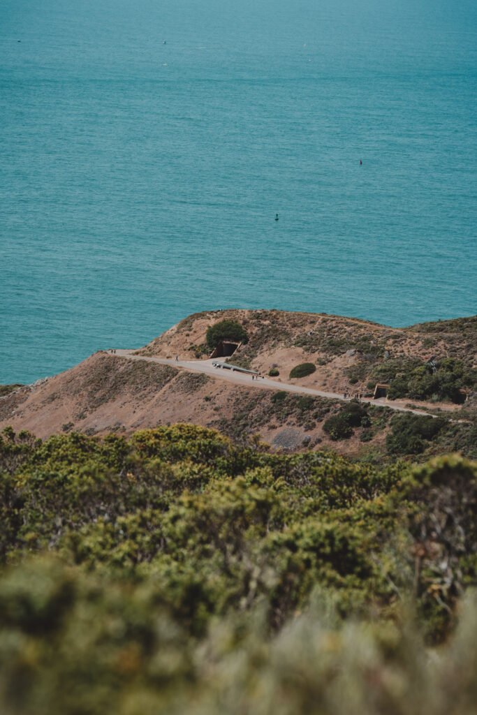
This hike provides scenic views of the Marin Headlands
On the day that I visited, it was decently warm and sunny, but this area can also be incredibly foggy and cold, so be sure to check the weather forecast before you go. When in doubt, bring layers that you can remove if you get too hot and don’t forget your hat, sunscreen, and sunglasses. There is a beach crossing in this hike, so wear shoes that you don’t mind getting dusty and sandy. And because this is a fairly long hike, I recommend packing water and snacks – a small picnic lunch could be nice if you’d like to stop and eat along the way. Just remember to bring all of your trash out with you and put it in the dedicated trash cans at Rodeo Beach, the lighthouse, or the parking lot!
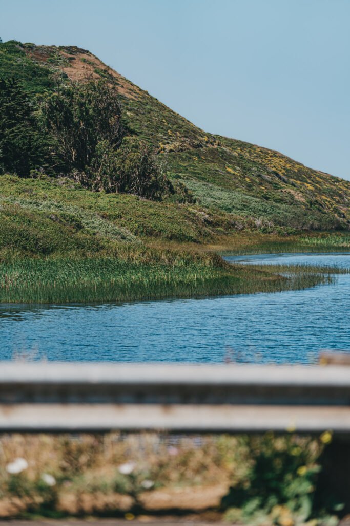
You pass the lagoon towards the beginning of the hike
The hike begins at the parking lot next to the Biccentennial Campgrounds where there are restrooms available. I would highly recommend using them before beginning this hike, as there will not be any easily accessible restrooms for most of the route. To begin, cross Bunker Road and walk along it just past the lagoon until you reach the Miwok Trailhead. The hike begins mostly flat, but quickly transitions to steady uphill that continues for a couple miles. I frequently hike with my family, and we all agreed that this uphill was steeper and more sustained than some of the other hikes we often do. Be prepared for a solid cardio challenge! (For full transparency, I was carrying a backpack with camera gear, which added some extra difficulty – your experience may vary depending on fitness and load.)

Wild Orchids lined the path in the early-mid summer
During our hike, wild orchids were in bloom, lining the trail with bright pops of color against the otherwise muted greens and browns of the surrounding hills. The path was well maintained, making the hike quite pleasant.
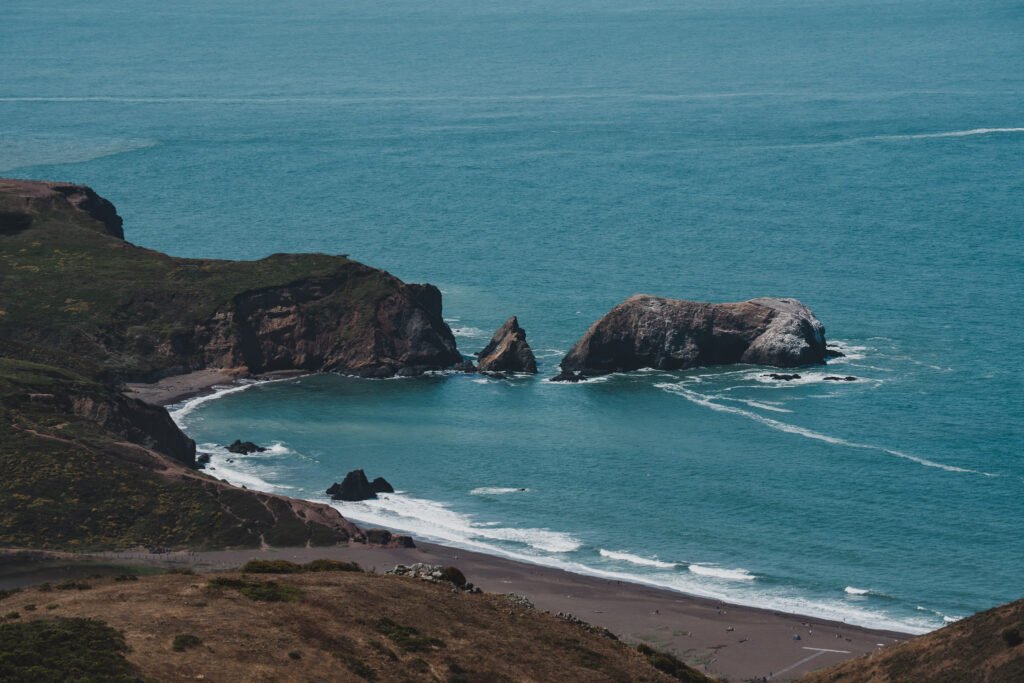
Views of Rodeo Beach from the top of the hike
After a couple miles, you’ll transition to Wolf Ridge Trail, which is a bit steeper than the Miwok Trail. We took this part of the hike a bit slower since we were already winded from the initial uphill. However, your effort is quickly rewarded. At the top of the ridge, you’re rewarded with breathtaking views of the Pacific Ocean and, if the fog cooperates, San Francisco in the distance. You’ll also encounter World War II bunkers and lookout posts along the hillsides. They make for a great photo and are a reminder of the important history of the Marin Headlands.
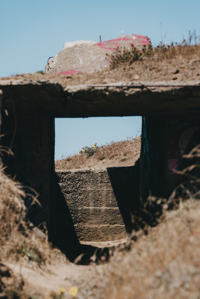
An old World War II bunker on the top of the hill
From the ridge, the trail descends down a rocky path toward Rodeo Beach. Upon reaching the beach, AllTrails has you cross the sand and ascend up a relatively unmarked path towards the lighthouse. It was at this point that my family decided to end the hike and return to the parking lot via the Coastal Trail, as it was getting a bit later than we had anticipated, and visiting the lighthouse was not a priority. The shortened version of the hike was approximately 5.47 miles and definitely not easy. With the initial significant elevation gain over a relatively short distance, this hike may be challenging for many, so I would put it at the more difficult end of AllTrails’ moderate activity rating. The downhill sections can also be a bit slippery with loose rocks on the path.
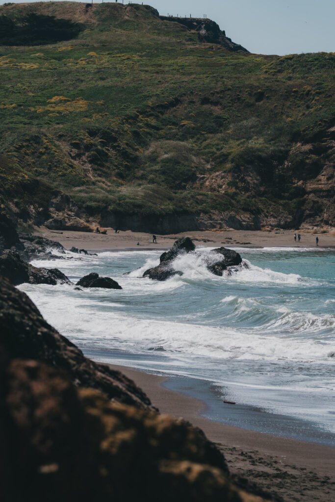
Waves crashed over the rocks onto the beach
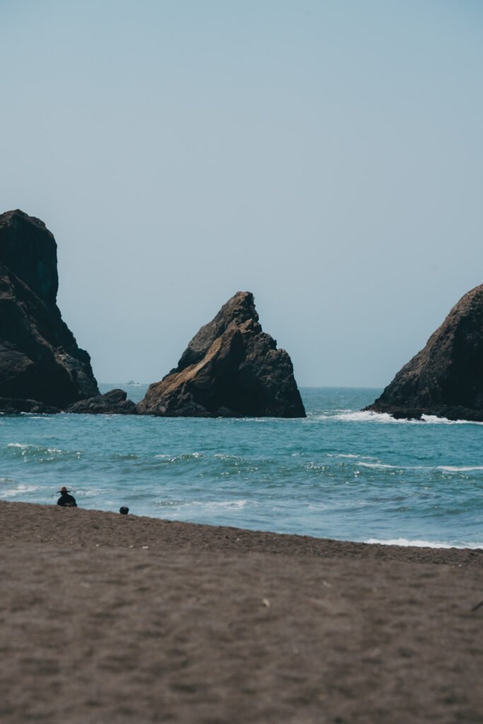
Views of the rocky shoreline from Rodeo Beach
If you do continue on to visit Point Bonita Lighthouse, you will be rewarded with spectacular views. On another occasion, I visited the lighthouse at sunset and was treated to unforgettable views of the rocky cliffs that perfectly caught the golden hour light. However, be sure to check if the lighthouse will be open. As of the time of writing, it appears that the lighthouse is only open on Sunday and Monday from 12:30pm-3:30pm. If you visit outside of these hours, then you will only be able to walk down the path but won’t be able to see the lighthouse itself. Regardless, there are still great views of the pointy cliffs and the waves below. If you have any questions, please feel free to send me a message via email or Instagram DM.
Happy hiking!
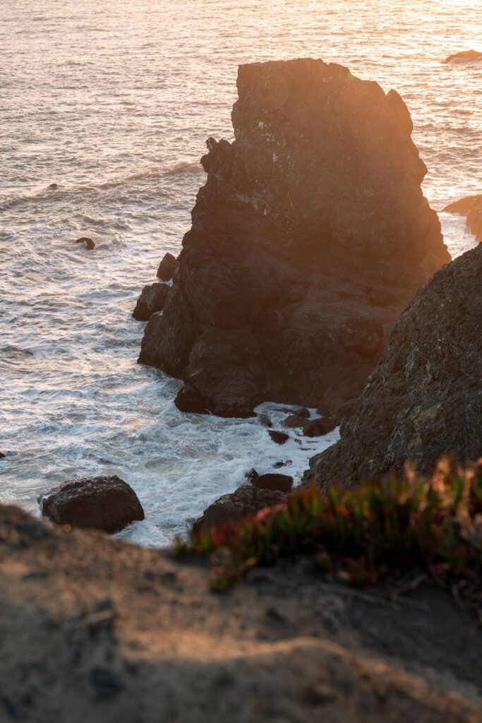
The rocks outside Point Bonita Lighthouse at sunset

The distinctive pointy cliff before the lighthouse
