Dawn Falls and King Mountain Loop: Up and Out of the Forest
Larkspur, California
In the depths of Larkspur, California, there is a hike in the redwoods that takes you up and out of the forest along the ridge with views of Mount Tamalpais. The Dawn Falls and King Mountain Loop is a 3.3 mile hike with 715 feet of elevation gain that covers a wide range of terrain with some wide-open flat sections, steep switchbacks, and dense forest trekking. If you are looking for a shorter hike with a good amount of elevation, then this hike may be worth checking out.

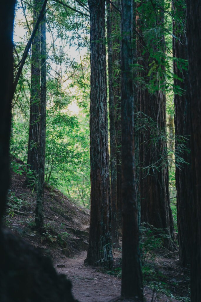
The first part of the hike takes place at the bottom of the valley under the tall trees
The hike begins from the Dawn Falls trailhead, which is located at the end of a residential road. There is very limited parking, and this section of the road is generally one-car wide, so be careful when trying to find parking. If the trail is busy, you may need to go back out slightly to find a parking spot. I visited on a Thursday evening and was luckily able to catch a spot right as someone else was leaving. This hike is very shaded, but is quite exposed once at the top of the ridge, so you may want to bring a hat or sunglasses.

The path traversing the side of the creek and going up the hill winds through the trees
The trail takes you into the tall forest where you will hear all sorts of birds in the canopy. A passing hiker informed me that she had seen baby owls, but I was unfortunately unable to find them on my hike. The first part of the hike is mostly flat with some small inclines as you travel along the creek. On my visit in mid-July, there was not much water in the creek or the waterfall at the end of the first trail. Upon reaching Dawn Falls, you must begin the short but steep uphill section. There are a series of very steep switchbacks that quickly take you up the hill to a large fireroad. You’ll cross the fire road and continue up a very narrow and steep trail to get to the Hoo-Koo-E-Koo Trail which travels along the side of the hill. There are some stunning views of Marin and the bay if you are lucky enough on a clear day.

The Hoo-Koo-E-Koo trail at the top of the hill

There were some unique plants at the top of the hill that has fuzzy flowers and fruits
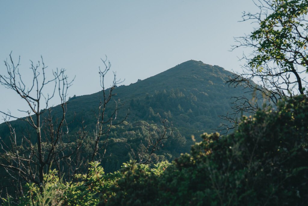
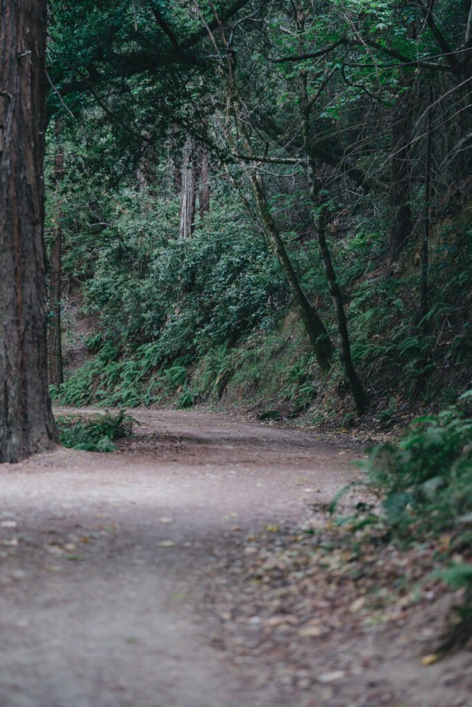
Eventually, the trail ends and merges with the Blithedale Ridge Fire Road. This ridge gives you views of Mount Tamalpais on the right side and an even better open view of Marin and the bay on your left. You’ll continue walking on this ridge fire road until it descends to meet the original fire road that you crossed when ascending. This fire road slowly descends down back towards the trailhead. However, there is a turn off at one point onto the Barbara Springs Trail, which is incredibly steep and slippery. The trail appears to have had some minor slides and erosion over time, because there are some sections that are quite challenging to navigate. Be sure to take your time going down. After reaching the bottom of the trail, you’ll have reached the trailhead where you started the hike.

View of Mount Tam from the Blithedale ridge
Overall, this hike is fairly short at only 3.3 miles, but the quick elevation gain makes it a challenge. This hike is accessible to hikers of most ages and could be fun to do with kids. However, I would caution older adults because of the steep uphill and downhill sections. Using hiking poles could make a difference on this hike. I did not see much wildlife on this hike, but I’m sure there would be many opportunities to see birds at the right time of day. If you have any questions, please feel free to send me a message via email or Instagram DM.
Happy hiking!

The fire road is quite wide and well maintained for an easy walk down
