Whittemore Gulch and Purisima Creek Loop Trail: Deep in the Pacific Forest
Half Moon Bay, California
Descending into the foggy redwood forest with hanging moss, following trails along the creek, and then climbing back up to the sunny treetops, this hike is no slouch, but it provides gorgeous views of the redwood forests and the low-hanging fog. The Whittemore Gulch and Purisima Creek Loop Trail is advertised as a 9.3 mile hike on AllTrails with 2132 feet of elevation gain, but my Apple watch tallied 9.79 miles. Regardless of the correct mileage, this hike requires a high fitness level, a snack or picnic lunch, and lots of water. This hike is one of the most challenging yet beautiful that I have done, and I highly recommend it as long as you are prepared.
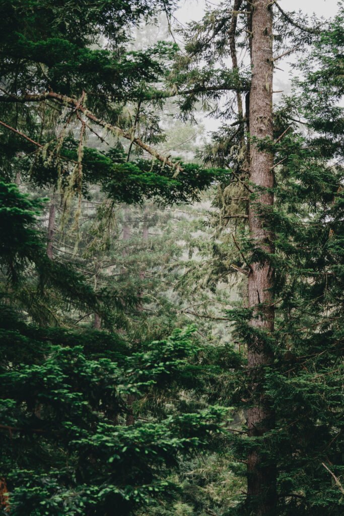
The hike takes you through the scenic pacific forest environment
This hike begins from the Purisima Creek North Trailhead off of Skyline Boulevard. The parking lot has ample space for cars, though it can be crowded on weekends. I visited on a Wednesday morning and had no trouble finding parking. There is a bathroom available at the trailhead, and I recommend using it before hiking because there won’t be another opportunity until halfway along the hike. Because this hike is long, water is required, and you should also bring snacks or even a lunch to eat while on the trail. On the day we visited, the fog was still mostly present, and much of the hike was shaded. However, the final stretch was quite sunny, so a hat, sunscreen, and glasses could be helpful. The hike follows a 40:60 V-shaped elevation curve, meaning that the first 40% of the hike is all downhill and the last 60% is all uphill – this characteristic is part of why the hike is very challenging because you end with the uphill section.
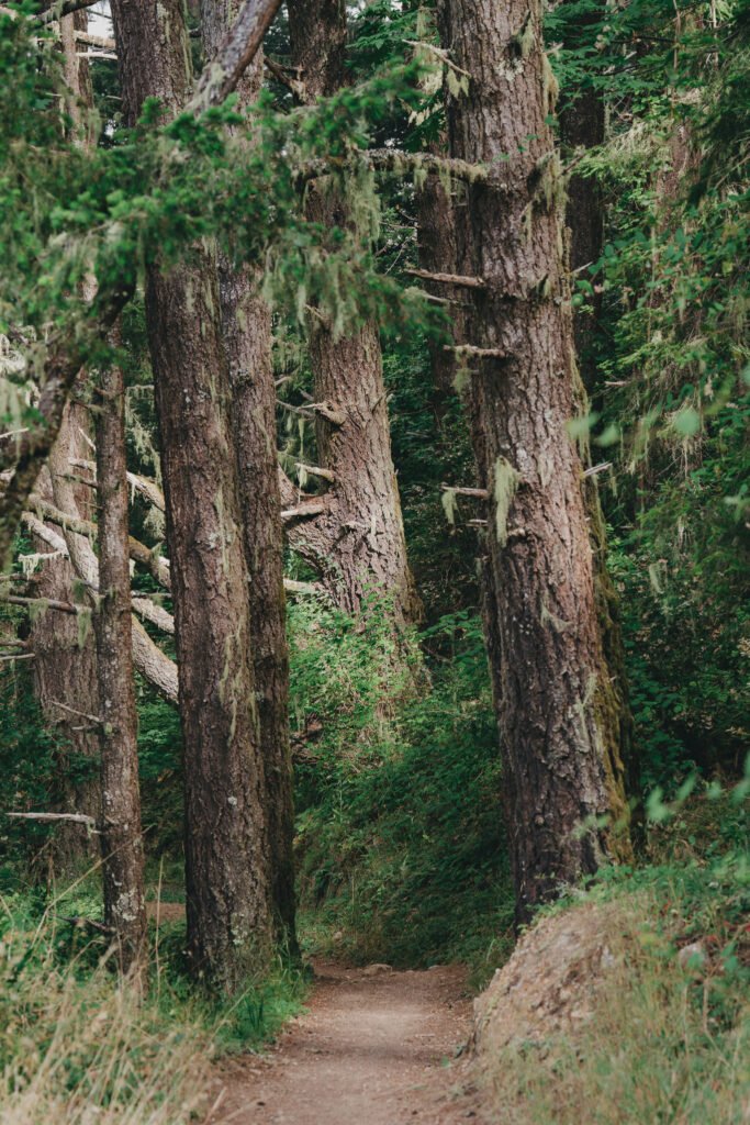
The trail is well maintained and has a clear path throughout
After leaving the trailhead, you descend via switchbacks into the forest. Along the path, you will be able to look out at the nearby tree-covered hills peaking out through the fog, providing beautiful views. This initial part of the hike can get a bit steep at times, but the path is well-maintained and easy to follow. There are many tripping hazards on the path, such as small roots and rocks. You’ll temporarily exit the trees and travel along a more open section with different foliage before returning to the dense trees for most of the rest of the hike. The first couple miles are steep, so hiking poles could be nice for stability.
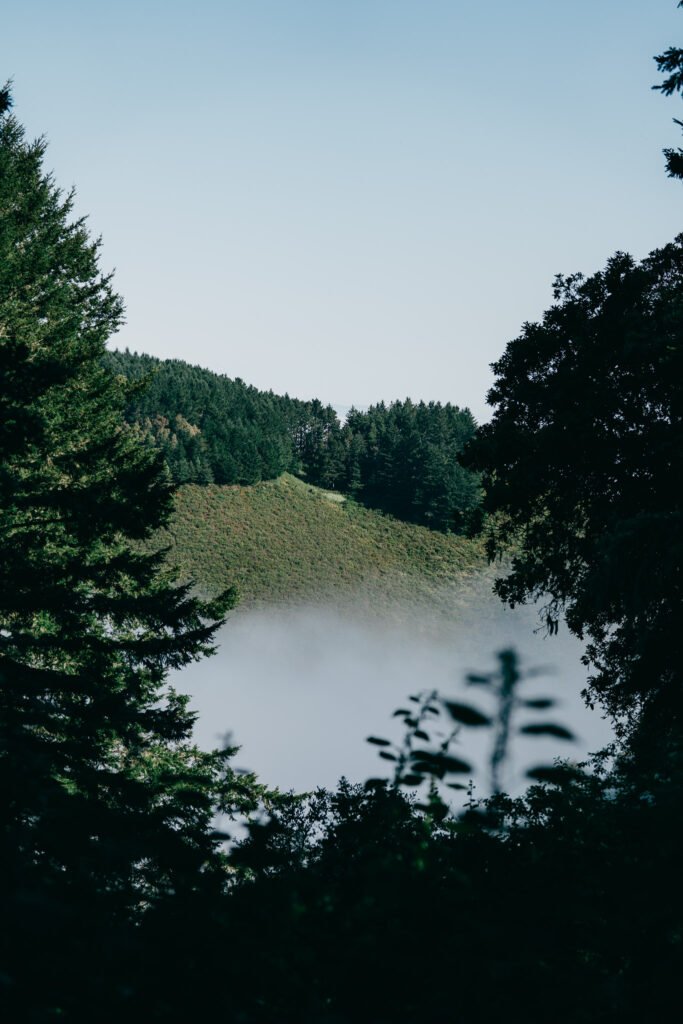
Nearby hills can be seen peaking out above the low-hanging fog
On the day I hiked, the fog had not burned off yet, so there was a section of the forest where the fog was just thin enough that the sunlight poured through, illuminating the fog in thin rays. It was a stunning sight, and I had no idea that this type of environment existed so close to San Francisco. I have seen images of other Pacific forests, such as Olympic National Park in Washington State, and would say that this hike can give you a taste of that environment but in the Bay Area.
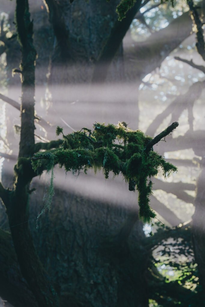
Sunlight illuminating a moss-covered branch
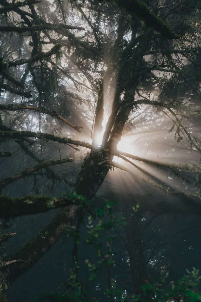
The lighting was amazing due to the thin fog
You’ll keep continuing downwards into the forest and then find yourself approaching the sounds of water. There is a large creek that flows through the valley at the bottom. For a couple more miles, the hike traverses the side of the creek. Just before the halfway point of the hike, there is an intersection in the trail with another bathroom. This bathroom is the second and only bathroom on the trail. After leaving the bathroom, you’ll continue along the creek and then slowly begin the ascent back up to the parking lot. This hike is a loop, so the majority of the hike will be on a unique trail, with the exception being the small bit of trail right near the trailhead. The last 60% of the hike follows a more gradual incline, but the incline is continuous and doesn’t stop. You wind your way along the creek and then eventually separate and begin to move uphill. There are a couple transitions to other paths that are narrower. Most of the hike can be wide enough for a few people, but these uphill sections may require some single-file hiking. You’ll wind your way around the terrain and under some fallen trees.

The sounds of the creek make the middle part of the hike very peaceful

Tall trees rise up on both sides of the path, providing ample shade
Towards the last couple miles, you’ll reemerge from the forest back into the more dry, open environment where you may be able to see some wild quails. On my visit at the beginning of July, there were a good number of quails with babies on the path. The final stretches are the toughest since they are the steepest and you are also very tired by this point in the hike. Reaching the parking lot at the top of the hill is a huge reward for the last ~5 miles of uphill hiking.

Quails were all around during the last couple miles of the hike
Overall, I would highly recommend this hike for its amazing views with the fog and the various nature that I saw along the hike. There were a good number of animals, such as quails and banana slugs. I would be careful if it has been raining recently because the trails could be slippery, especially on the downhill and the sections along the creek. There were some areas by the creek that were flagged off due to sections of the trail collapsing into the creek, so be careful if it has been raining. Definitely be prepared when attempting this hike. Bring lots of water and food to get you through the hike. Also, give yourself enough time for the hike. It took me about 4 hours to finish the hike, but that included many stops for photos. This hike is not recommended for small children or older adults due to its length and elevation, unless you are very confident in your hiking abilities. There are similar hikes from the trailhead or you could make it an out-and-back hike if it becomes too much. If you have any questions, please feel free to send me a message via email or Instagram DM.
Happy hiking!

This hike has the best views out of all the hikes I have documented thus far
